


Our Grading and Surveying FAQs
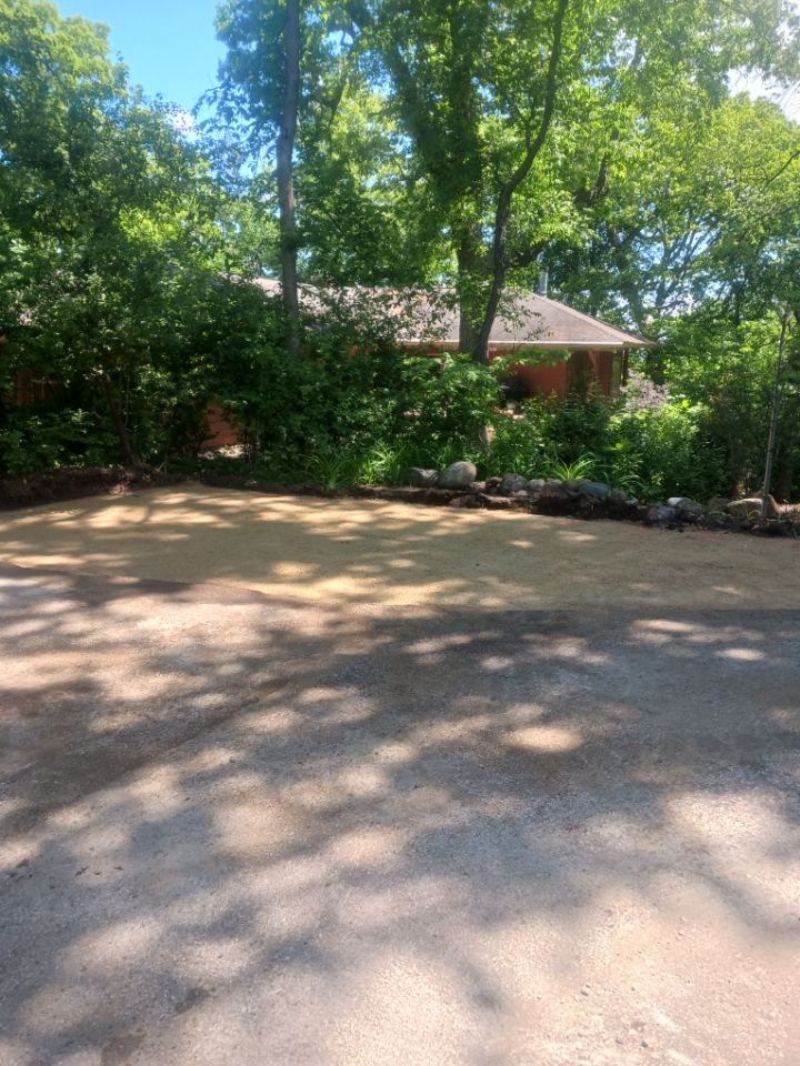
What is gravel driveway grading?
Gravel driveway grading is the process of leveling and shaping a gravel driveway to ensure proper water drainage and a smooth, stable surface. It involves moving gravel and the underlying soil or substrate to create a gentle slope, typically with a crown in the middle, to direct water away from the foundation of a building.
Grading is crucial for preventing water from pooling on the surface, which can lead to erosion, potholes, and damage to the driveway and surrounding areas.
What is the difference between gravel and recycled asphalt?
Gravel and recycled asphalt are both used as driveway and pavement materials, but they differ in composition, cost, and performance characteristics. Gravel is a natural aggregate of rock fragments, while recycled asphalt is reclaimed pavement material that has been crushed and reused. Recycled asphalt offers greater durability, less dust and maintenance compared to gravel.
How much gravel base is needed for a driveway?
A typical gravel driveway needs a base layer that is at least 10-12 inches deep. For areas with poor base or drainage, a deeper base might be necessary.
How much does it cost to grade a gravel driveway?
Grading, shaping, and compacting an existing gravel driveway costs between $1.00 and $3.00 per square foot.
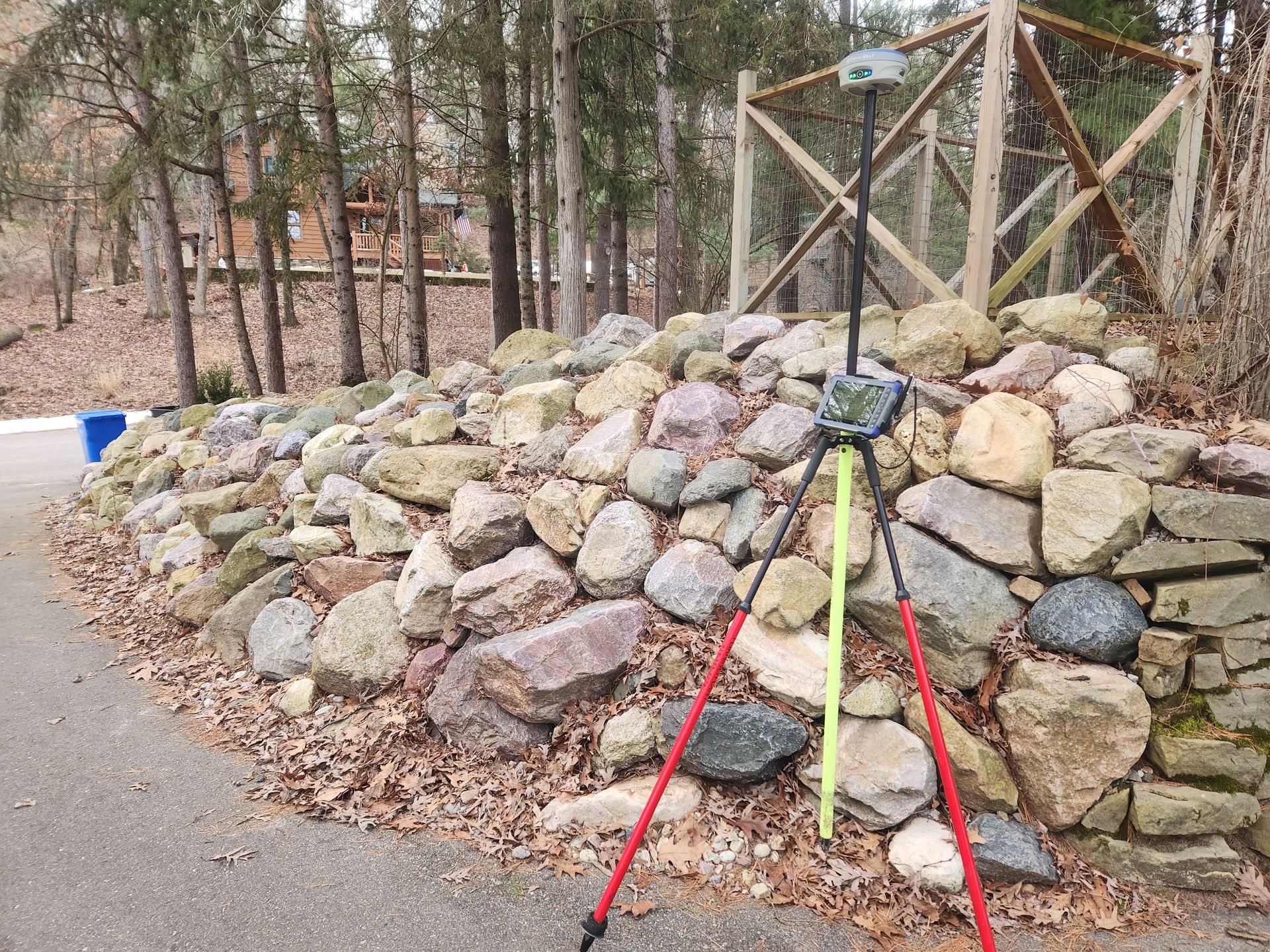
What is Land Surveying?
Land surveying is the science of determining the boundaries and dimensions of land parcels, as well as the location of features on that land. It involves both fieldwork and office work to produce accurate maps and legal descriptions of properties. Land surveys are used for various purposes, including property transactions, construction projects, and resolving boundary disputes.
Why do I need to hire a Land Surveyor?
A land surveyor is crucial for determining accurate property boundaries, identifying potential issues like encroachments or easements, and ensuring compliance with regulations for various activities like building or renovations. Hiring a land surveyor provides peace of mind, prevents costly mistakes, and helps you make informed decisions about your property.
What is a Plat of Survey?
A plat of survey is a scaled map, created by a licensed land surveyor, that depicts the boundaries and features of a specific property. It's a legally recognized document that shows the property lines, dimensions, and any structures or improvements (like buildings, fences, driveways) on the land. Plats of survey are often required for real estate transactions, building permits, and resolving property disputes.
What is a Certified Survey Map?
A Certified Survey Map (CSM) is a legal document, prepared by a licensed land surveyor, that divides land into a maximum of four parcels. It's used for various purposes, including creating building lots, clarifying property lines, and reconfiguring existing parcels within subdivisions or plats. CSMs are crucial for land development and sales, as they provide a detailed record of property boundaries, easements, and zoning requirements.